Length: 7 Miles Point to Point*
Trailhead(s): Table Rock Summit Trail Parking Area
Elevation Gain: Approx. 1,575’*
Trail Type: Out & Back
Dogs: Allowed on Leash
Difficulty: Moderate
Permit Required? No
Considerations:
Season: Spring, Summer, Fall
*Distance and elevation are end to end for Table Rock parking area to Wolf Pit Road parking area. This is an out and back and it is not necessary to hike to full length of the trail.
Overview
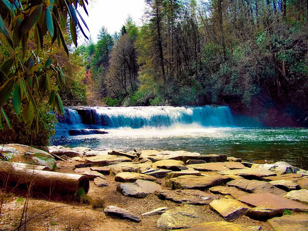
The Shortoff Mountain Trail is an incredibly fun, scenic, and somewhat adventurous hike. This is, perhaps, our favorite hike in Linville Gorge, but not starting from where most reviewers have you start. Hands down, starting from Table Rock parking lot and hiking the trail North to South makes for a fantastic hiking experience.
You can go as far as you wish on the Shortoff Mountain Trail, including going down to the end of the trail at the Wolf Pit Road parking area at the bottom of Shortoff Mountain. Even if you do not wish to go the full seven miles to the trail’s end, you will have fantastic views all along the trail without having to do the 1,300 descent from the top of Shortoff Mountain to the bottom.
Hiking the Shortoff Mountain Trail
After leaving the Table Rock parking area, the Shortoff Mountain Trail (also called the Mountain to Sea Trail for most of the hike) leads you through a camping area and about two miles later reaches the Chimneys. The Chimneys is a popular climbing area (which we have top roped and had a ton of fun!), so you will likely see climbers. Stop and enjoy watching them for a few. If you have never climbed, you will find it quite interesting.
Leaving the Chimneys, the Shortoff Mountain Trail continues along a ridge where you will encounter some really fun rock crossings and fantastic views of the Linville Gorge. Take your time and soak in the adventure of the trail and its rugged beauty.
Continuing along the ridge, the Shortoff Mountain Trail becomes more wooded, with side paths giving fantastic views on both sides of the ridge. Eventually, you will begin a descent down into Chimney Gap. A short way down, you will reach an area to the left which has fantastic views of the backside of the ridge above, the mountains and valleys below, and Table Rock. We find this to be a great place to have lunch.
From Chimney Gap, you can continue on to Shortoff Mountain. The views of Linville Gorge from the mountain are fantastic, but the mountain itself is not very scenic and has a good deal of exposure due to wildfire burns. Because of the sparse foliage, however, you can also see Lake James.
From here, you can of course hike down to the end of the trail at the Wolf Pit Road parking area. We saw little point in making the descent as the show is all up top, but that’s your call. If you do want to go down, look for a sign marking where the Shortoff Mountain Trail splits from the Mountain to Sea Trail and follow the Shortoff Mountain Trail 1,300′ down to the parking area.
Conclusion
The Shortoff Mountain Trail from the Table Rock parking area is one of the most beautiful hikes in the Linville Gorge. In fact, it is one of our favorite hikes in western North Carolina. You can, of course, make the climb up from the opposite end of the trail at the Wolf Pit Road parking area, but we prefer taking the trail from the opposite direction. It starts with fantastic views right out of the gate and you can make the hike as strenuous (or not) as you wish. Enjoy!
Scroll down to learn about the GEAR WE USE and OTHER OUTVENTURES in this area.
Additional Information
- Trailforks Interactive Trail Map Link:
- National Park Service Information:
https://www.nps.gov/arch/planyourvisit/devils-garden.htmSpring, Summer